Long Cane Massacre Site, Historical Marker, Memorials, Interpretive Sign
MAP# 12
GPS: 33.9949946, -82.3392047
The Long Cane settlers moved west, which the Cherokee considered a territorial violation. Warned of an attack, without a new fort, the settlers departed. One group was ambushed here, February 1, 1760.
Further Details
Things to See

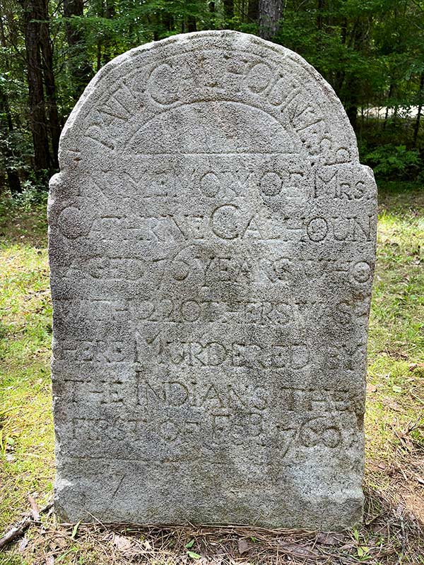
Long Cane Massacre Original Memorial Stone
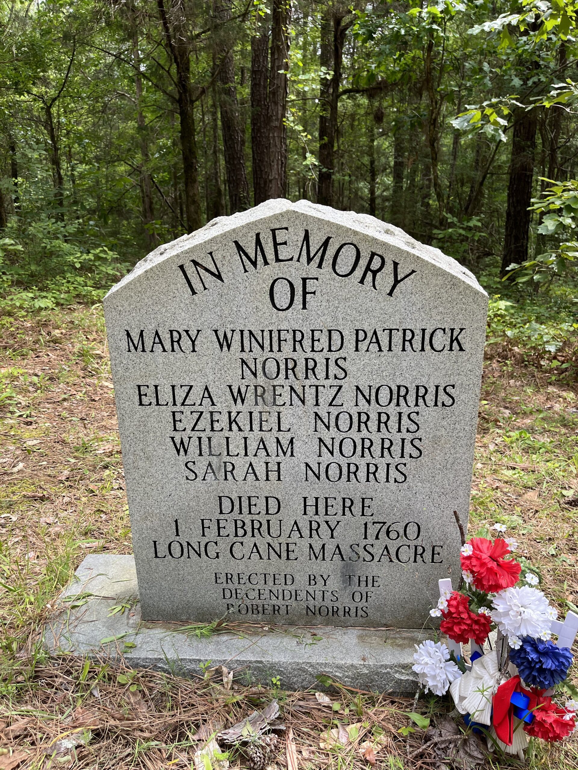
LCM Norris Family Memorial
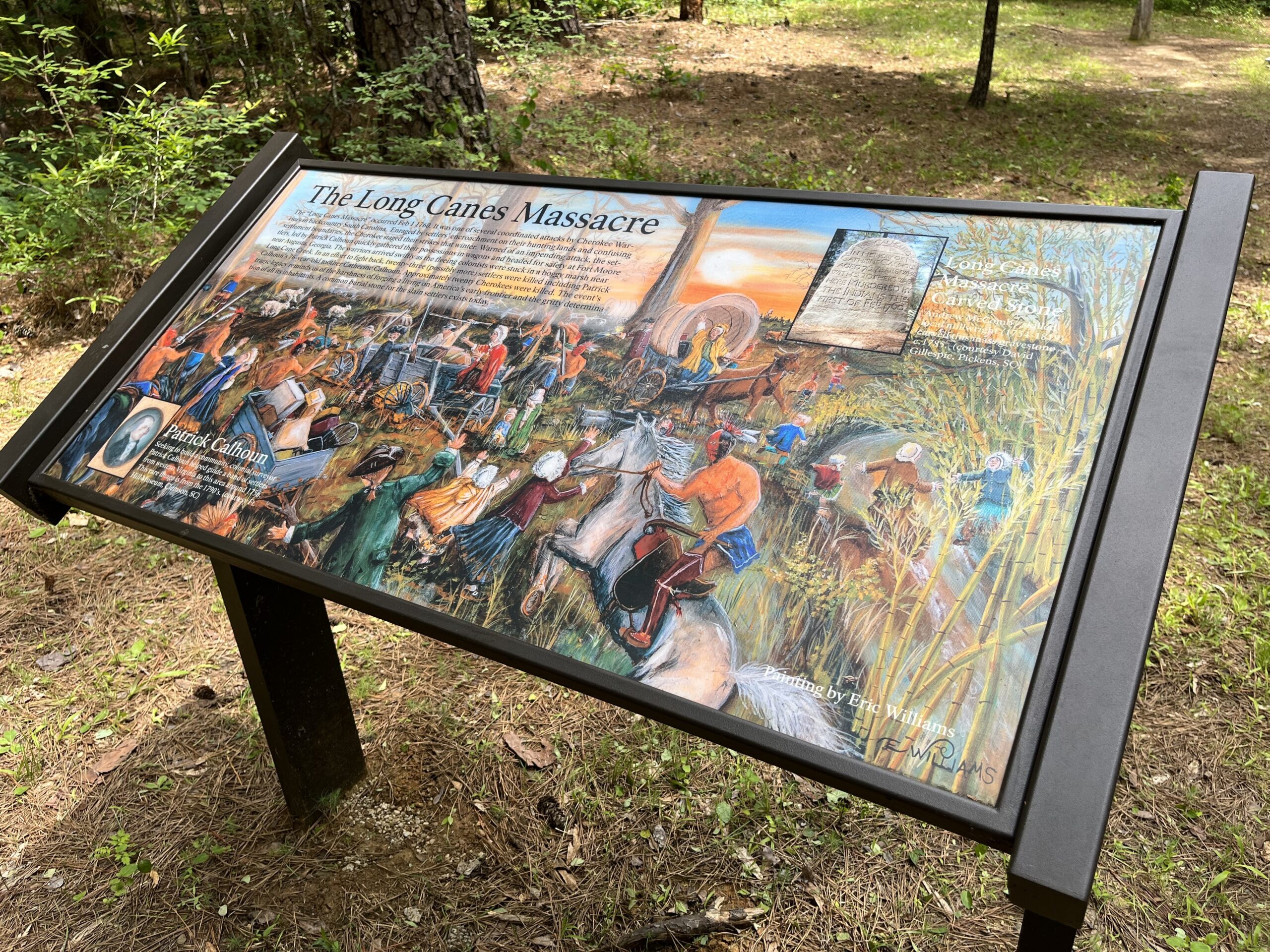
LCM Interpretive Sign

Long Cane Massacre Print (Image Courtesy of Eric Williams)
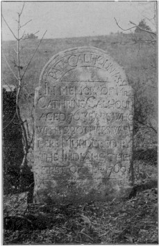
LCM Mass Grave Headstone circa 1906