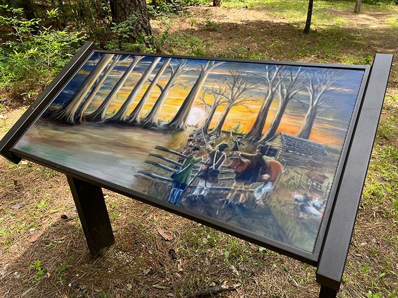
Long Cane Massacre & Long Cane ARP Church Historical Markers, Battle of Long Cane “Visitable” Site, Interpretive Signs
MAP# 13
GPS: 33.9876864, -82.2978434 (Historical Markers)
GPS: 33.987514, -82.298977 (interpretive signS)
(Interpretive Signs Forthcoming)
The massacre site, 3 miles west, is where 25 settlers or more were killed, 23 buried on site in a mass grave, several were kidnapped and 21-22 Cherokee died.
The present church, which replaced several earlier, was built in 1856.
A Patriot militia detachment, part of a larger contingent threatening Ninety-Six, clashed with and were overwhelmed at the Battle of Long Cane by a substantial, unanticipated force of British trained Regulars and Loyalists dispatched from Ninety-Six.


